After touring the North Island of New Zealand for two weeks, we thought it would be quite difficult to find another place with such beautiful landscapes. Then we crossed the Cook Straight to start our 3 weeks on the South Island and were promptly blown away by the scenery. We haven’t travelled everywhere in this world, but New Zealand’s South Island has to rank quite high in a list of the world’s most beautiful places. Here are a few of our favorites:
Abel Tasman National Park
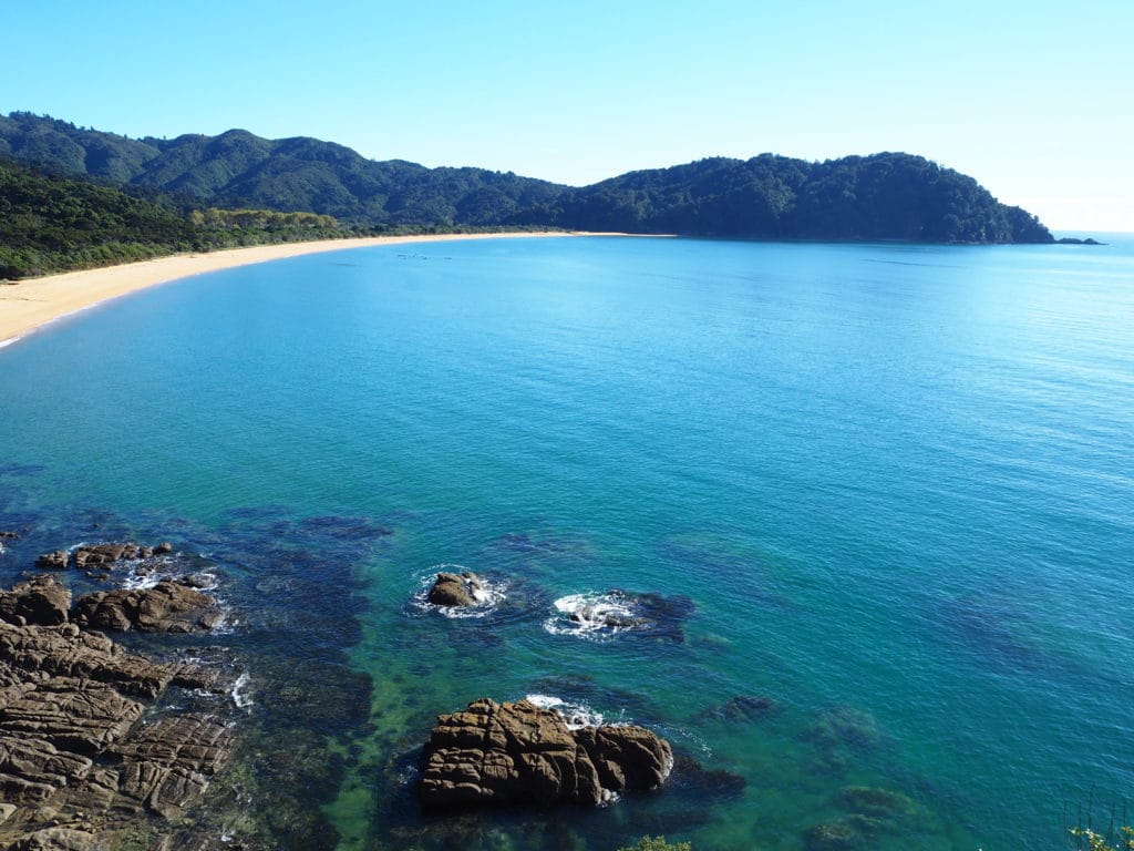
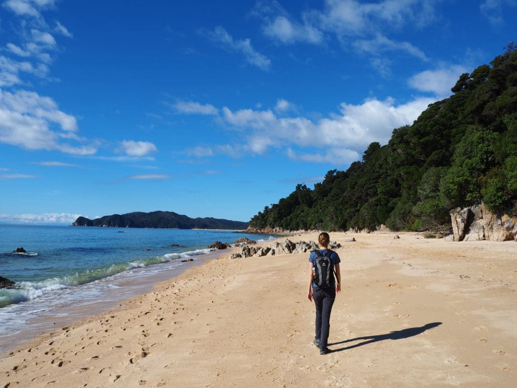
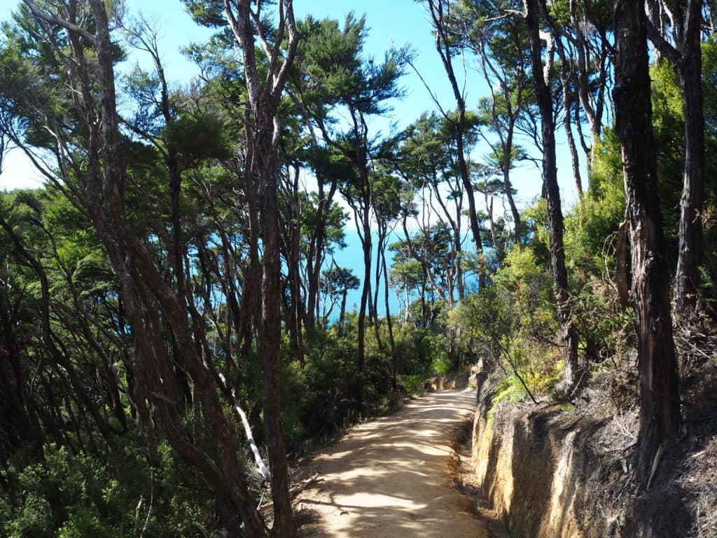
One of the first stops we made on the South Island was in Abel Tasman National Park. We spent a day hiking along part of the Abel Tasman Coastal Track, and as the name implies, this hiking trail skirts along the coast weaving its way through the forest and opening up onto long stretches of pristine beach. The track is so close to the ocean in fact, that parts of it can only be done at low tide. It was wonderful to meander through the cool, calm forest and then emerge onto sun-baked beaches with the sounds of the ocean waves slapping on the beach. The only negative I can remember from this hike were the sandflies on the beach. These little devils bite during the day like mosquitos do at night (and leave the same red itchy bumps!). However, as long as we kept moving they weren’t too much of a bother.
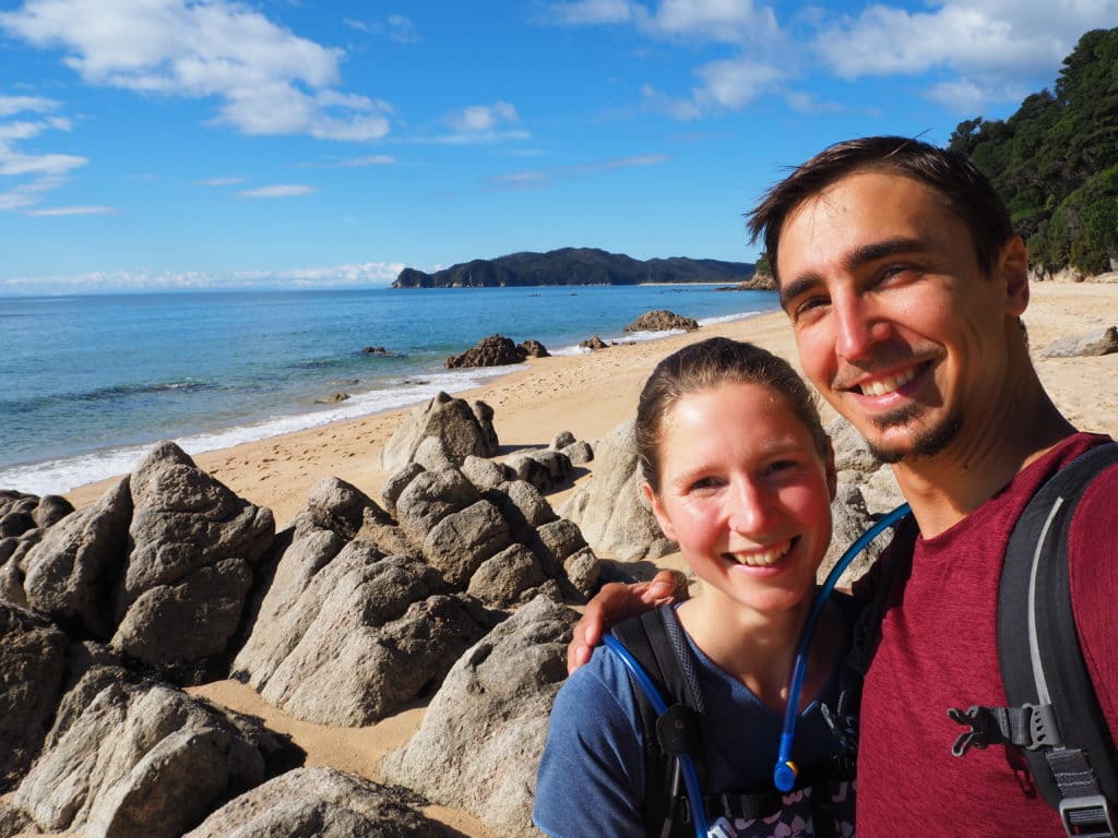
Click here for more photos of Abel Tasman & the Marlborough/Nelson Region
The West Coast
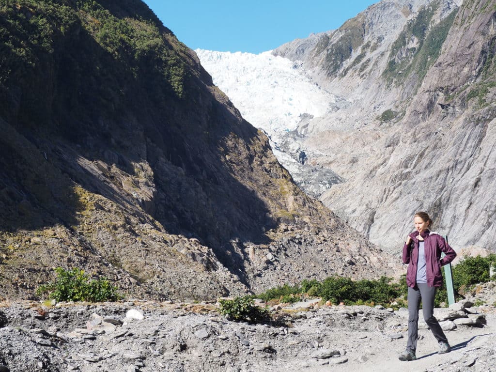
As we travelled south from Abel Tasman, we drove down the western side of the South Island through the region known simply as the West Coast. As with most parts of New Zealand, you are never too far from the ocean here (in fact, you can never be farther than 79 miles/ 126 km from the Ocean anywhere in New Zealand!) What struck us the most about this particular area though was the mountainous terrain that rose seemingly right out of the ocean. On one side of us would be the vastness of the ocean, and the other side would be snow capped mountains. This unique geography creates an interesting weather pattern that contributes to the beauty of the area. As winds blow in from the ocean, the air is forced upwards by the mountains where it condenses and then falls as rain (or snow at higher elevations). This is a very common occurance, as the west coast averages 7m/22ft of rain every year, with some locations averaging up to 14m/44ft a year! All of this rain means that the entire area is magnificently green. It also means that the mountains get an incredible amount of snow which contribute to the several large glaciers in the area, most notably Franz Josef Glacier and Fox Glacier. Unfortunately climate change has caused these two massive glaciers to retreat up the valley at an incredible rate over the last couple of decades.
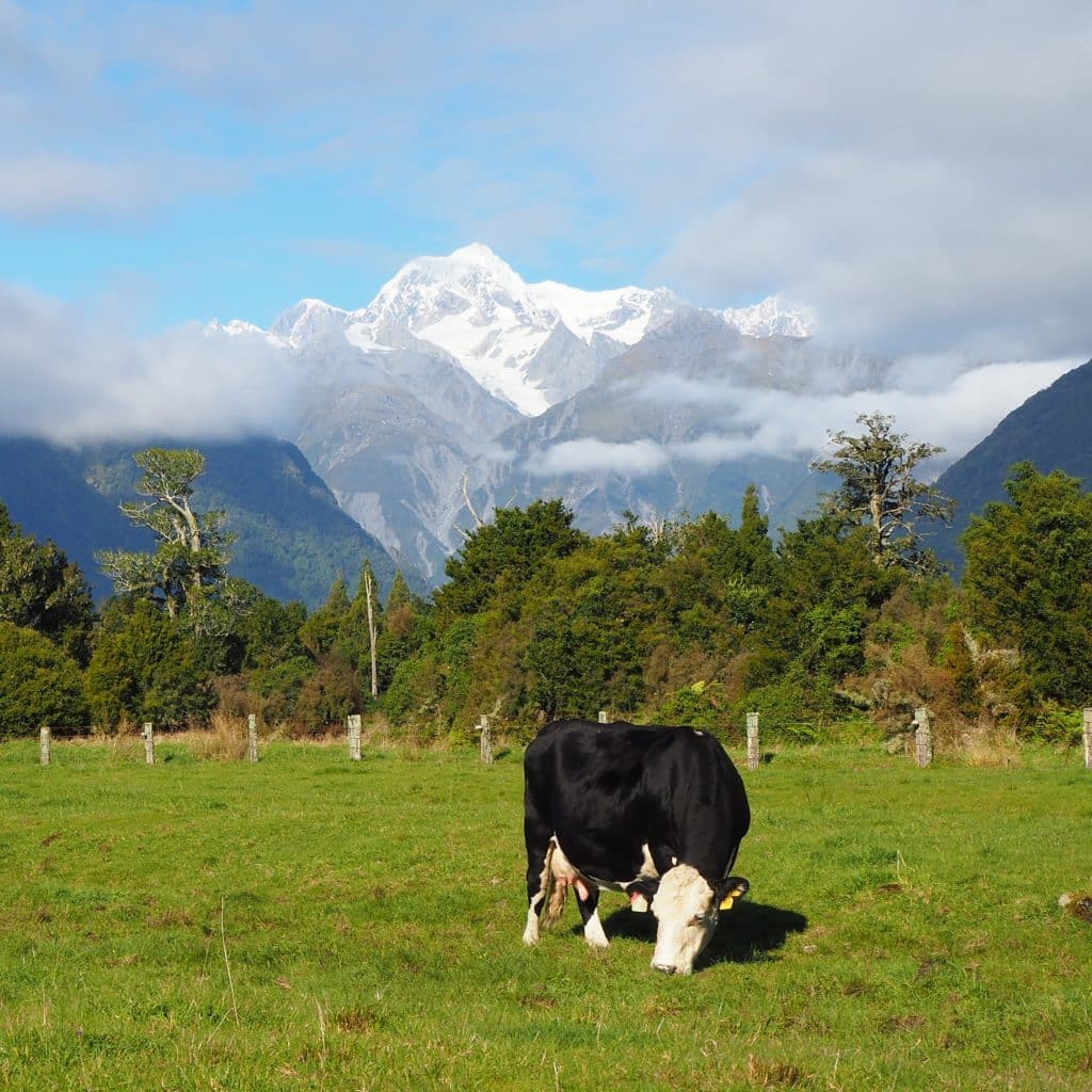
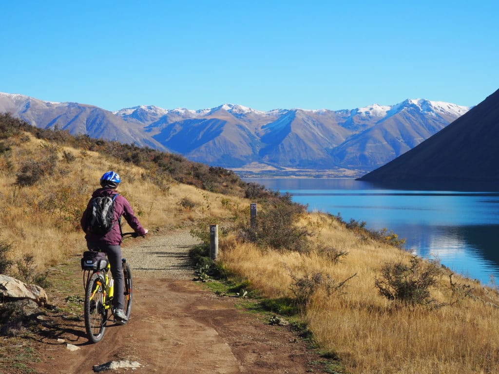
The crowning point of these mountains along the West Coast is Aoraki, the Maori name for Mount Cook. It is the most impressive of the mountains that make up the Southern Alps of New Zealand, rising to a height of 3,700m/12,200ft. There are two lakes that offer great views of the mountain, and from opposite sides. The first views we got were from Lake Matheson. On clear days the mountain reflects off of the lake creating the perfect postcard-like picture opportunity (it was cloudy when we hiked to Lake Matheson though). We did manage to get a few glimpses of the mountain through the clouds that were still rather beautiful in our opinion 🙂 We also really enjoyed the views of the mountain from Lake Pukaki. We drove along this lake nearly all the way to the base of the mountain. We then spent a day on rented bikes cruising along another lake in the area with great views of the other surrounding mountains.
The other highlights for us in the West Coast region were the pancake rocks at Punakaiki, Franz Josef Glacier, and the Hokitika river gorge.
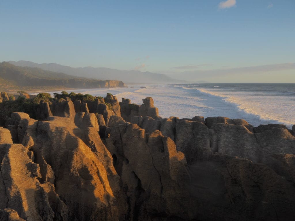
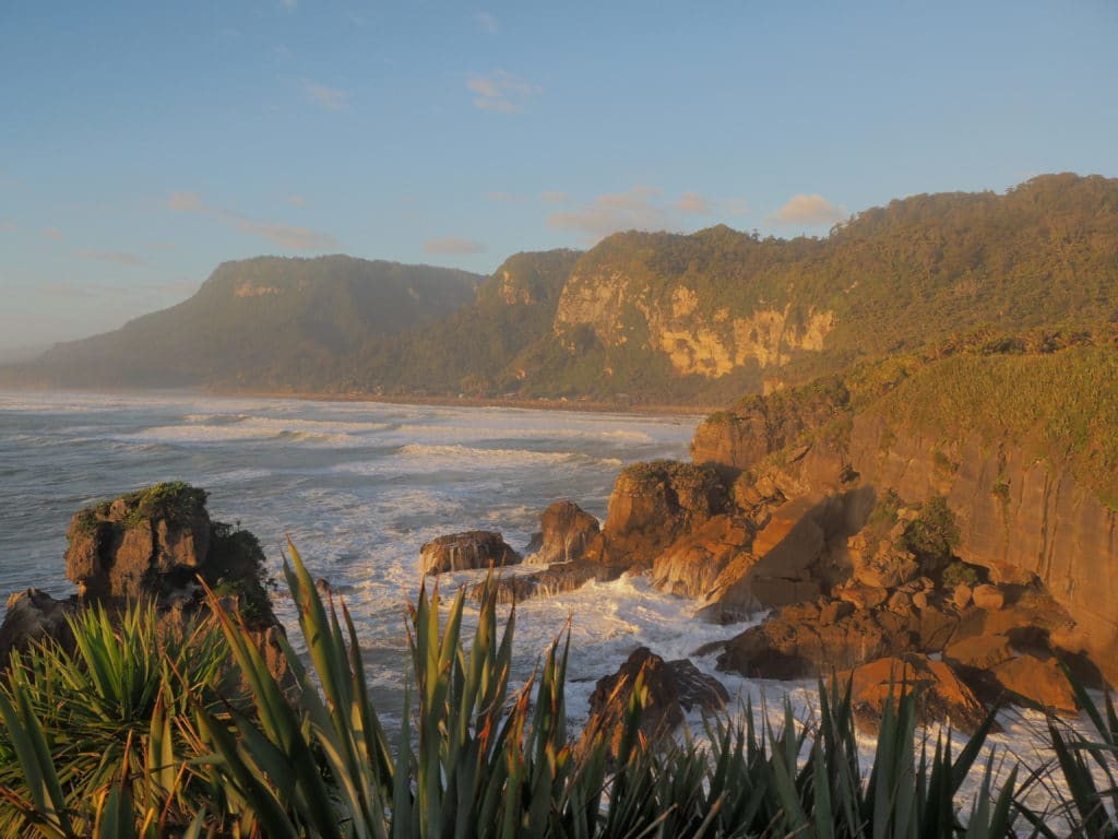
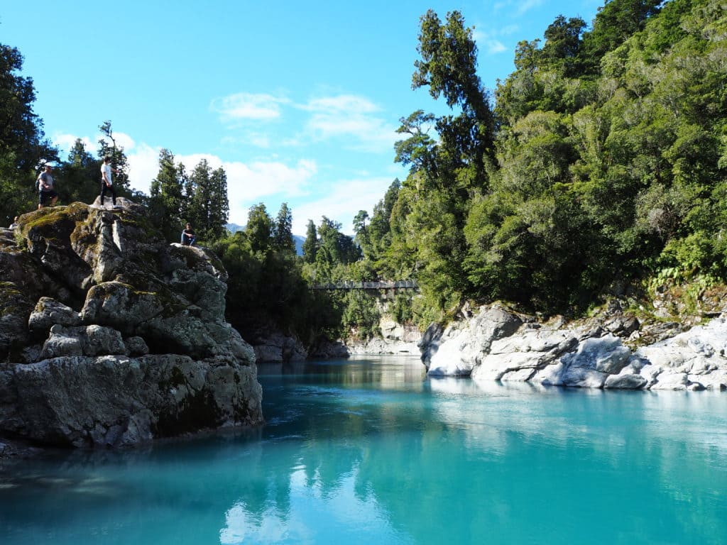
Click here for more pictures of the West Coast
The Catlins
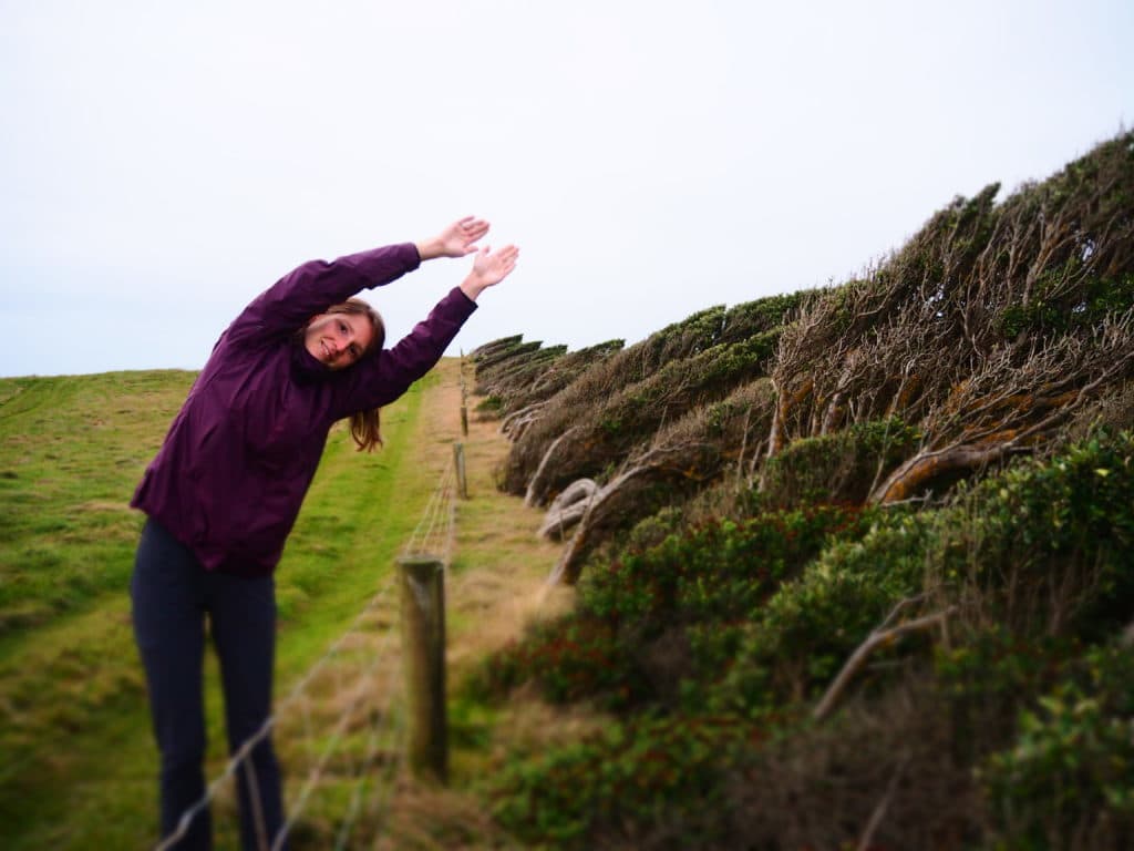
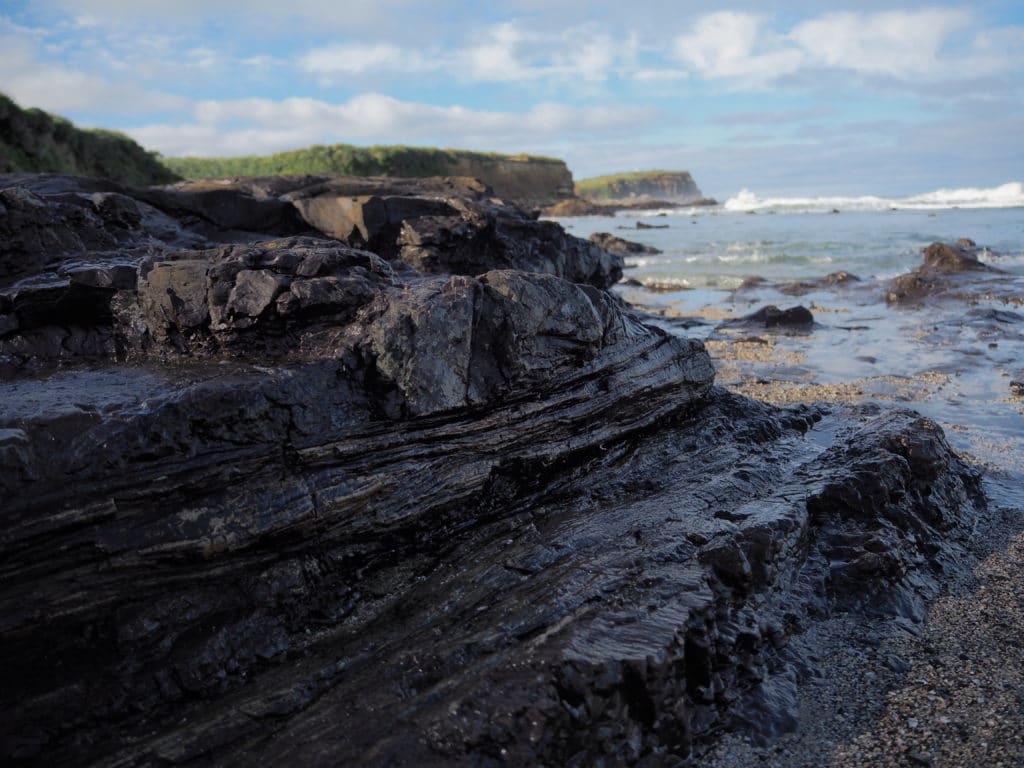
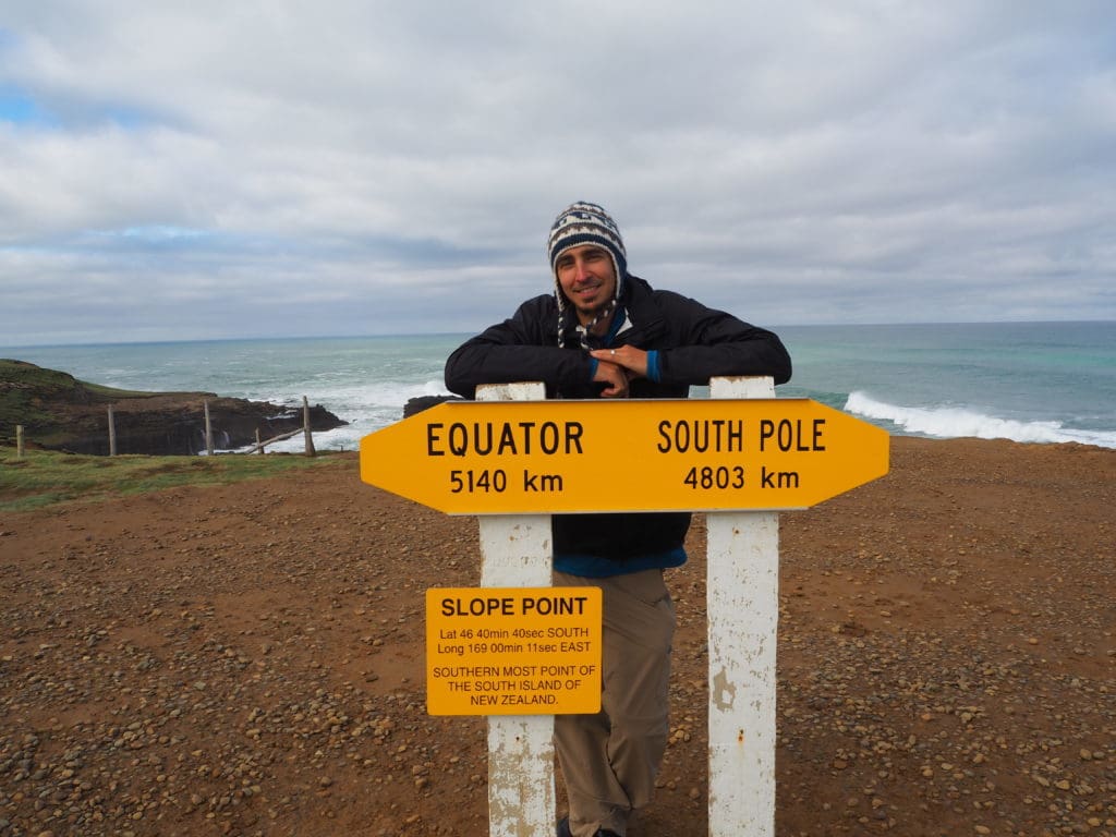
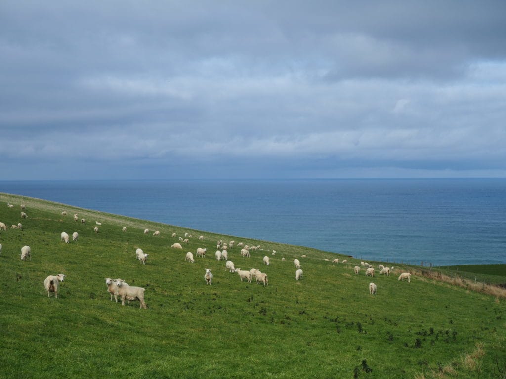
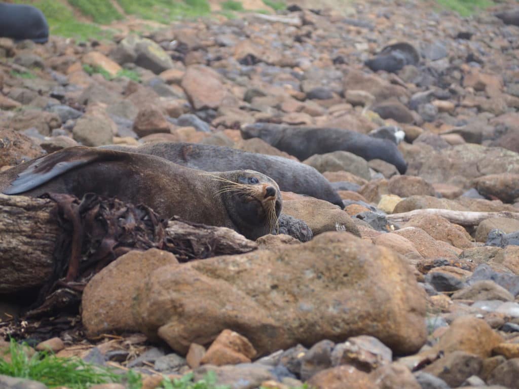
The area along the south-eastern coastline known as the Catlins is where we saw wild penguins for the first time. We were lucky enough to catch several yellow-eyed penguins along Nugget Point as they made their way up the beach after a long day of fishing out at sea. The yellow-eyed penguin is actually the world’s rarest penguin, so we felt extra special that we were able to see these funny little birds. The Catlins were also where we first sighted New Zealand fur seals as they lazed around on the beaches looking like fat logs that had washed ashore. This area wasn’t just interesting because of the wildlife we spotted though, it was also a unique mix of native forests and pastureland. There is even a 55 million year old petrified forest that reveals itself at low tide. And though there are sheep grazing in pastures everywhere in New Zealand, we found the pastures in the Catlins unique. The sheep graze on steep hillsides in the strong ocean winds right alongside the ocean cliffs. No need for any barbed wire along those edges!
Click here for more pictures of the Catlins & the Southland Region
Dunedin
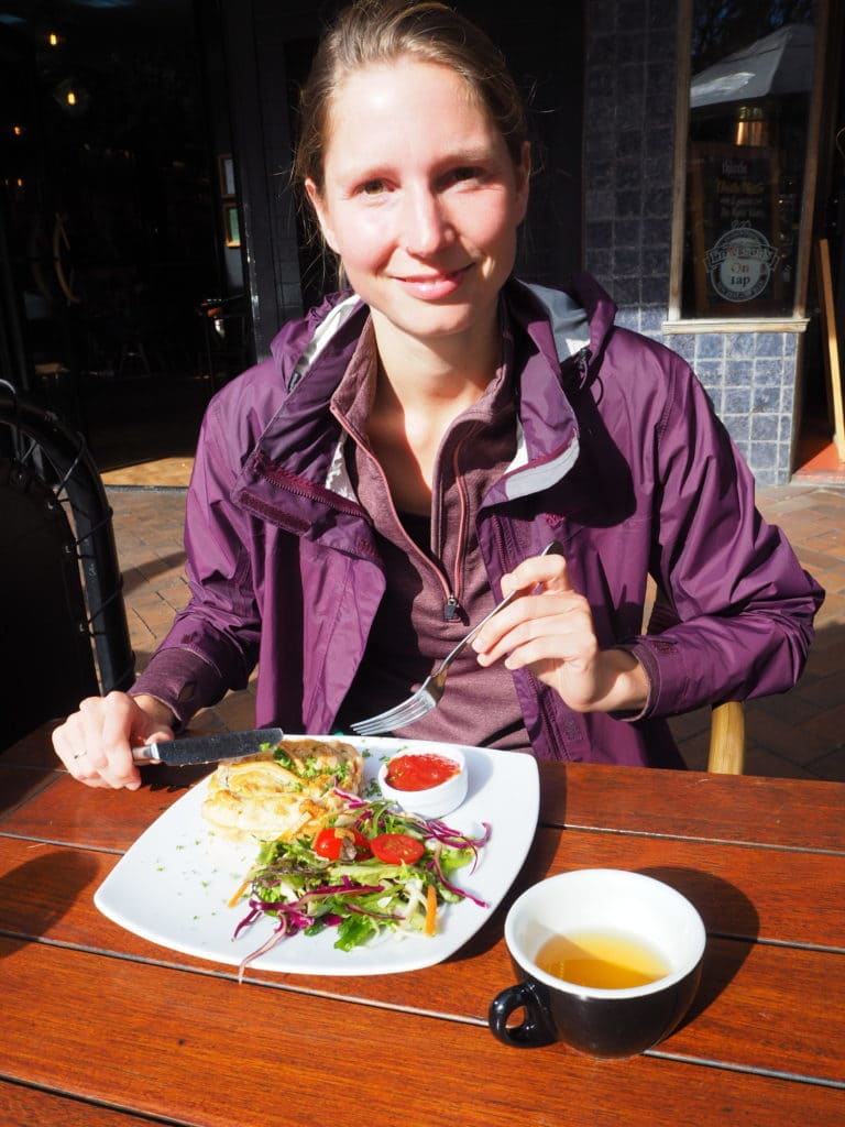
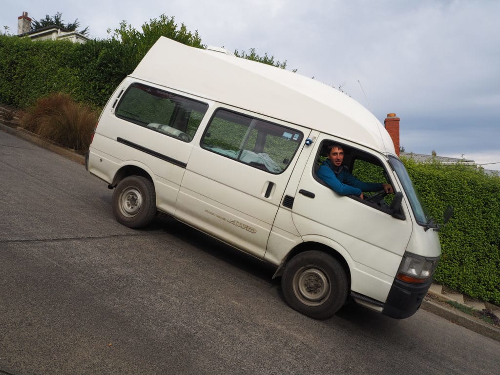
One of our favorite towns in the South Island was Dunedin. This town is rich in Scottish heritage, charm, and wonderful ocean views. Kathy experienced the Scottish heritage first-hand when she tried a venison/bacon meat pie. It was so good she didn’t even share any with me! We even made sure to test out our campervan’s engine and brakes on the world’s steepest street. Baldwin Street in Dunedin has a place in the Guinness book of Records as the world’s steepest street with a 35% grade!! Not to fear, our Campervan cruised up and down the street like it was nothing (well, Kathy and I couldn’t hear each other over the roar of the engine, so maybe the van didn’t like it that much after all).
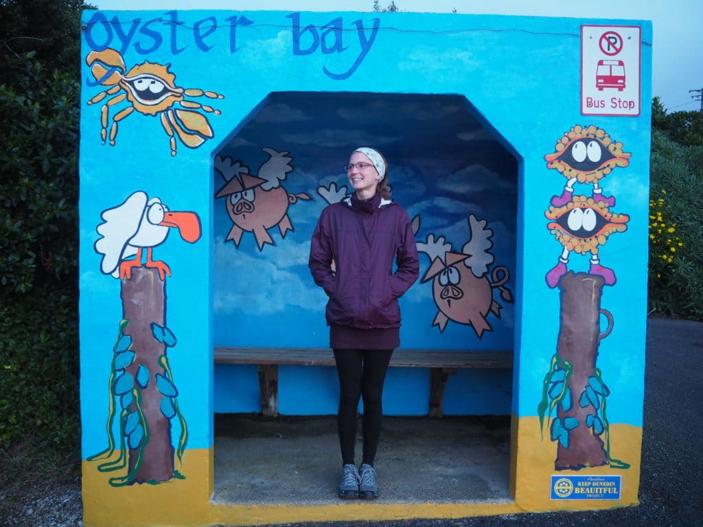
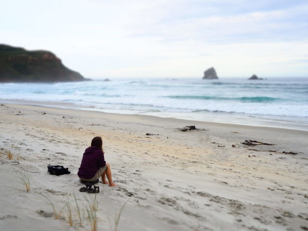
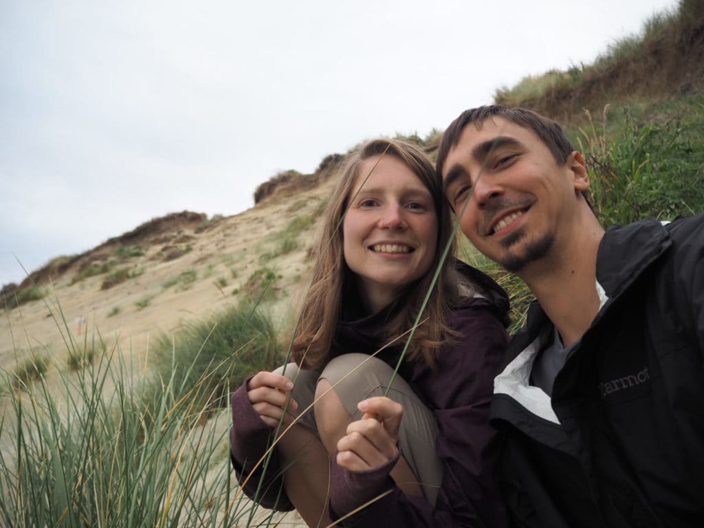
We also really enjoyed our trip out to the Otago peninsula, located right outside of Dunedin. We saw lots of seabirds, including albotrosses, as well as lot more of the lazy brown logs that call themselves New Zealand fur seals. We drove along a road that was rediculously close to the ocean (with no safety railing) but was lined with the most creative bus stops we’d ever seen. We stopped at Sandfly beach (which ironically doesn’t have any sandflies) and spent the afternoon hanging out and watching the seals. We waited on the beach to try to see if we could spot more penguins returning from the ocean (we saw their burrows everywhere in the sand dunes along the cliff faces), but were ultimately unsuccessful even with the brilliant disguises Kathy made for us (see pics below). On the return trip we drove the high-cliff road which gave us a good evening view of the city of Dunedin.
Click here for more photos of Dunedin & the Otago Region
Kaikoura
There is no way we could leave the town of Kaikoura off this list of South Island highlights. The small town is now a bit difficult to get to after a magnitude 7.8 earthquake in 2016 destroyed the main highway on both sides of the town and nearly destroyed it’s harbor. Nevertheless, an extra few hours on a small country road into the town was worth it, for this was the place where we sighted a sperm whale! Kaikoura is one of the only places in the world where sperm whales can be easily viewed from boats close to shore. This is due to the Kaikoura Canyon, a unique feature underneath the waves off the coast. Typically, one must travel 50-60 miles off shore to reach deep ocean waters. However, just half a mile from shore the Kaikoura Canyon drops to 1,200m/3,900ft. This deep canyon attracts all sorts of sea-life, including squid, which in turn attract the sperm whales.
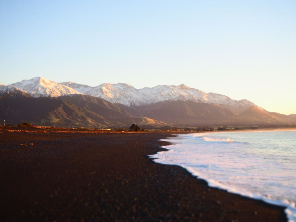
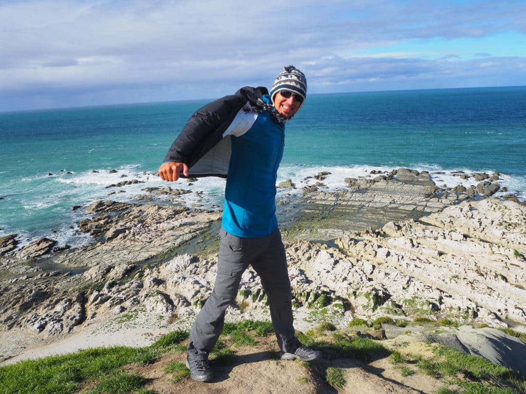
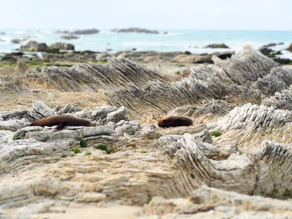
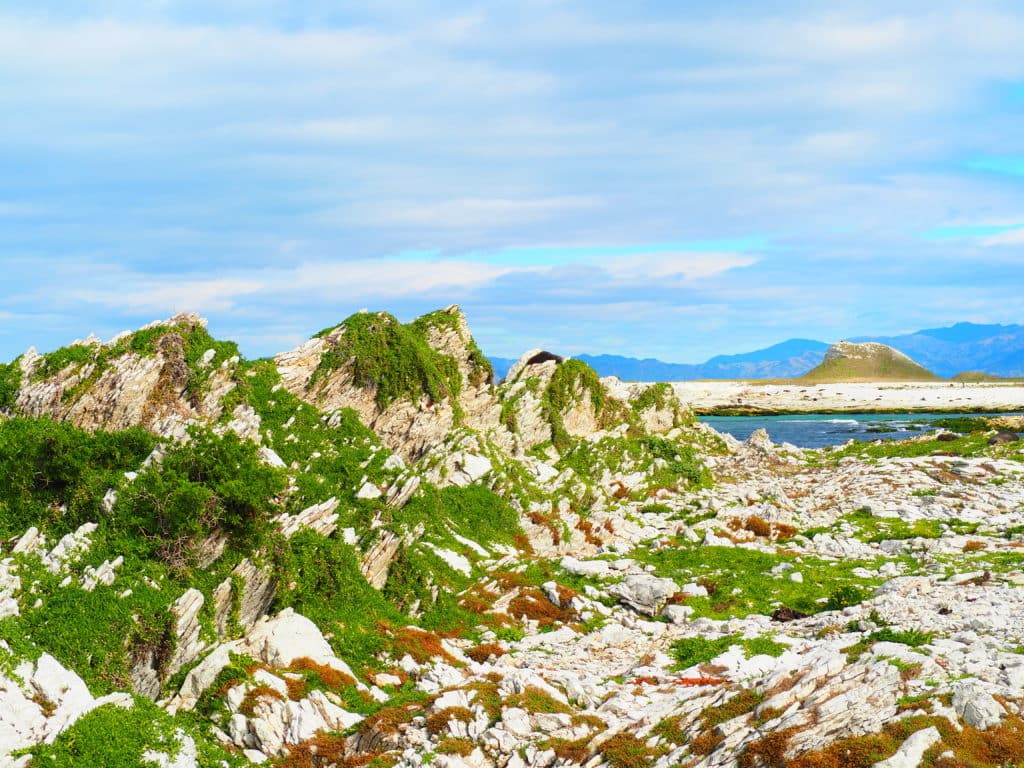
Kaikoura is interesting for its landscape as well. The original Maori inhabitants called this area “the place where the mountains meet the sea” because of how the mountains stretch all the way to the coast, dipping their feet in the cold waters of the south pacific ocean. Kaikoura also sits on the faultline where the Pacific plate meets the Australian plate (hence the earthquake in 2016). There is abundant evidence around Kaikoura of how this faultline has shaped the countryside. We walked along the Kaikoura peninsula and watched fur seals sunning themselves on unique limestone rocks that have been folded and lifted from the ocean over the eons of time. The peninsula itself is made up of several different “platforms” that have been shoved upwards at different periods in the earth’s history. These earth platforms provided us with the perfect viewpoint to look out over the ocean. In fact, the most recent earthquake in 2016 contributed to the landscape in its own way. The surrounding Kaikoura range was pushed upward by over 10cm, and the seafloor of Kaikoura’s harbor was uplifted by over 2 meters!
Here is a clip of the sperm whale we saw. We could hear him clicking underwater for about 45 minutes while he was hunting. When he finally surfaced he spent about 10 minutes breathing atop the water before diving again.
Click here for more photos of Kaikoura & the Canterbury Region
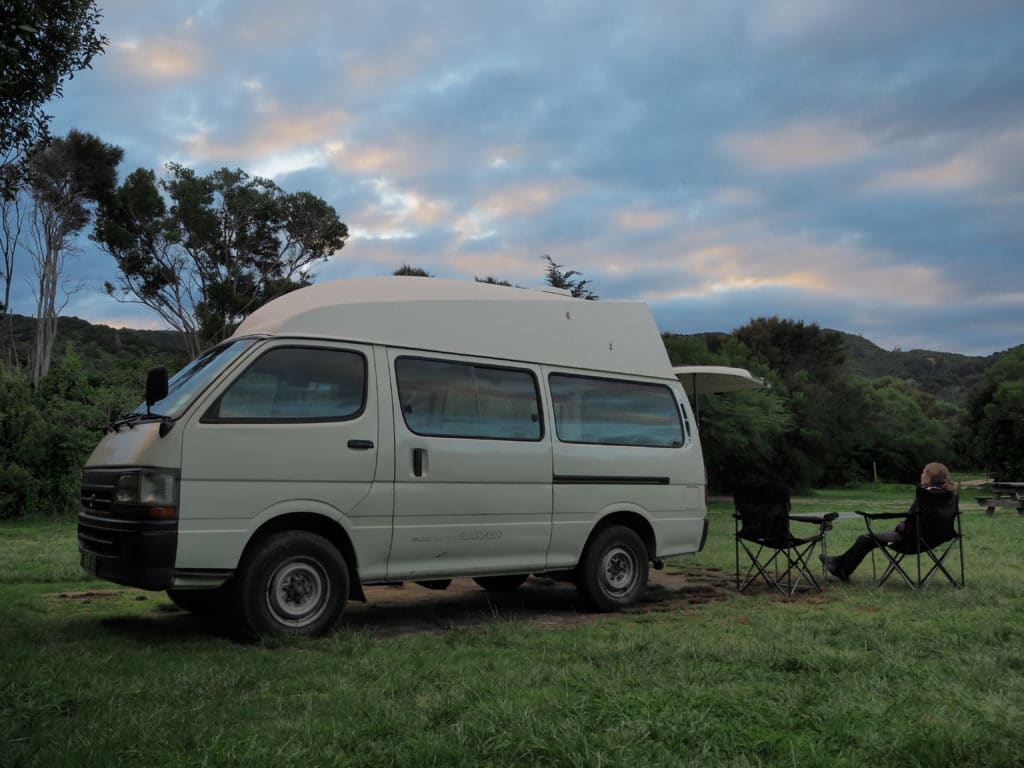
While there were plenty of other amazing places on the South Island, these five spots stuck out the most. I’m sure if we had spent more time there (and we easily could have!) we would have come across many other wonderful places, but after 5 weeks we had to turn in our trusty old campervan and move on to new adventures!


Comments
6 CommentsKaren
May 12, 2017I now officially hate you both. This looks like one of the most extraordinary places on the planet. How wonderful!! Also, the photos are truly fantastic — I like the fading in and out you’re doing. It really pops the photos.
Phil Kieser
May 12, 2017I think it’s time for you buy a plane ticket to NZ! You will see amazing places around every corner I promise!
Karen
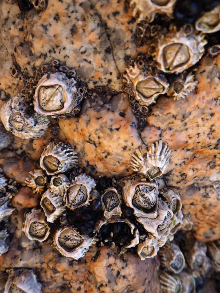
May 12, 2017forgot to say… the barnacle photo is my favorite. It’s AMAZING!
Phil Kieser
May 12, 2017I like it too!
Daniel
May 15, 2017I think I’ll be returning to this post several times. Definitely a kind of meditation compared with the awful weather in Boston right now!
Phil Kieser
May 18, 2017Yeah, everytime I look back at these pictures I’m amazed. You and Karen have to put NZ on your list of places to visit.